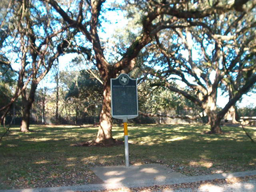
Marker location: in roadside park, U.S. 290A, 2 miles W. of Eagle Lake Marker erected: 1969
Marker Text:
Because overland travel in early Texas was an enterprise often fraught with hardship, frustration, and danger, many individuals looked to rivers for a solution to the problem. From 1829 to the Civil War, optimistic Texans attempted to ply the area's long, meandering rivers, but met repeated disappointment. The most serious drawback to navigation of the Colorado was "the raft." This was a series of timber masses--some floating, some sunken--choking off the river about 10-25 miles above its mouth. The length was variously given as 3-8 miles. In spite of this, the keelboat "David Crockett" became the first boat to navigate the river, in 1838. After that, flatboats brought cotton, hides, lumber, and pecans down as far as the raft, but there the goods had to be taken off and hauled laboriously by wagon to Matagorda. The Republic of Texas incorporated 2 companies to clear the river and the State authorized the construction of a new channel around the raft, but the obstruction remained an impediment and hazard. Although shallow-draft boats managed occasional trips, the more-efficient railroads eventually took away much business. After the Civil War, Texas Rivers ceased to be an important factor in transportation.*****
Do you have pictures or information about historical markers you would like to share?